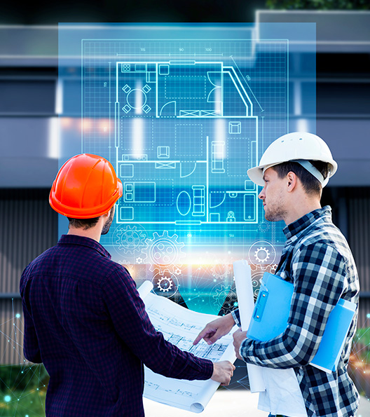
Digital Twins

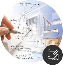
Innovation and Technology in Civil Construction
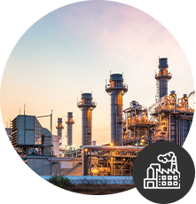
Sustainability in Civil Construction
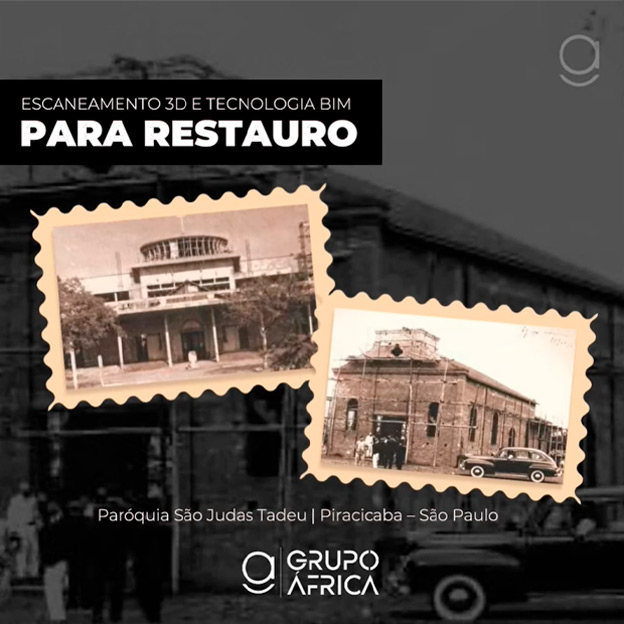
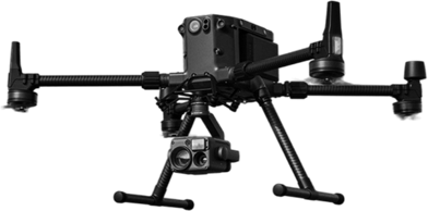
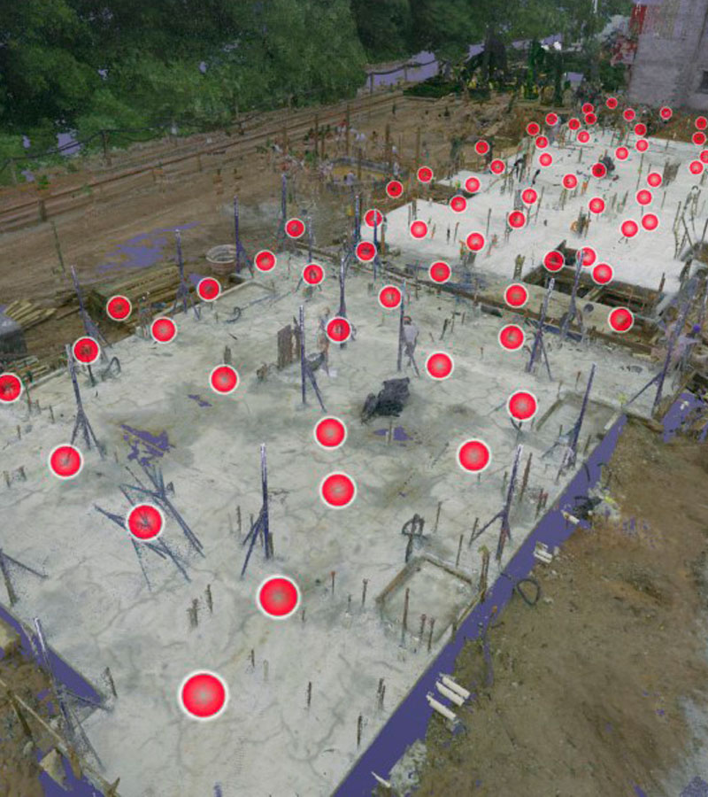
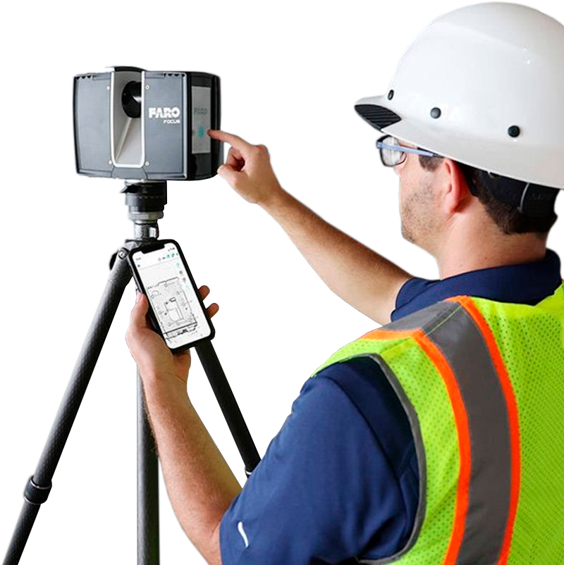
3D Scanning
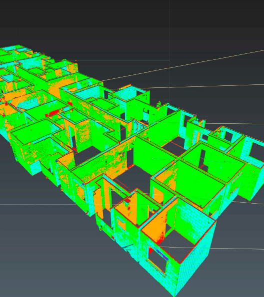
Point Clouds in Civil Construction
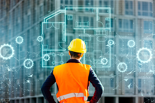
Augmented Virtual Reality
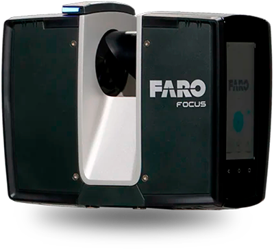
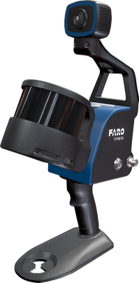
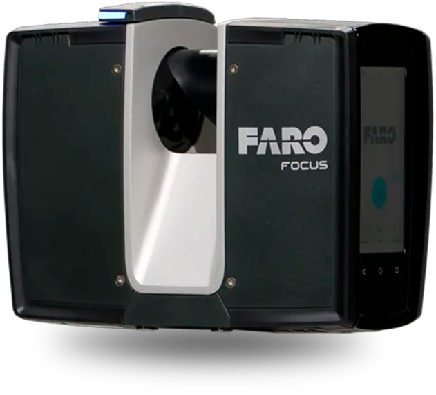
3D Laser Scanner
Precision, efficiency, and savings in construction
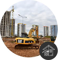
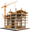
Smart Construction Sites

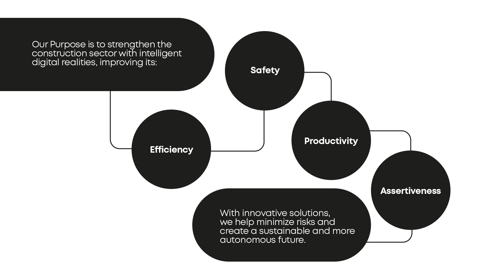
Intelligent Digital Realities


Alan Amaral
Technology combined with a specialized team delivers unique and accurate results.

Audrey Amaral
I believe in more humane leadership, new management models, and that yes, it is possible to grow without leaving aside the essence.